President Trump shows hurricane map 'doctored with black marker pen'
The US president said Alabama could be among the states affected by Hurricane Dorian but weather experts dismissed the claim.
Wednesday 4 September 2019 22:56, UK

President Trump has held up a map to reporters that appeared to be doctored with a marker pen to show Alabama was in the original path of Hurricane Dorian.
The map was the same as a model produced by the National Oceanic and Atmospheric Administration (NOAA) last Thursday showing the storm's projected path hitting central Florida - but with one big difference.
Where the original projection ended, part of a black circle was added in the model displayed by the US president, apparently extending the path towards the Gulf of Mexico and the southern edge of Alabama.

Mr Trump had tweeted at the weekend that Alabama could be hit by Dorian but his claim was dismissed by weather experts who said the hurricane would remain too far east.
Now it has been alleged the president altered the map with a pen so "he did not have to admit he was wrong in a tweet".
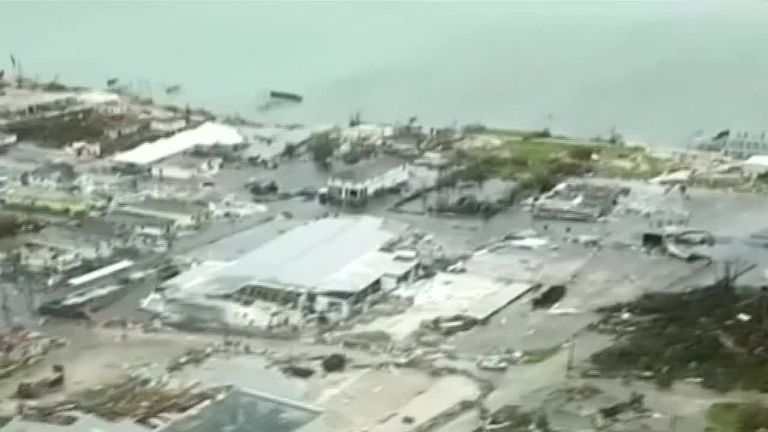
Dorian's centre ended up being to the east of Florida as it headed north towards Georgia and the Carolinas after leaving at least seven people dead in the Bahamas.
On Wednesday, the president was handed the map by Homeland Security Secretary Kevin McAleenan and then told US media: "We had actually our original chart that it was going to end up hitting Florida directly.


"It was going to be hitting directly, that would have affected a lot of other states. But that was the original chart. It was going to hit not only Florida, Georgia, it was going toward the Gulf [of Mexico].
"That was what was originally projected. And it took a right turn and ultimately, hopefully we're going to be lucky."
Mr Trump had tweeted on Sunday that Alabama could be among the states affected by the hurricane.
But the National Weather Service in Birmingham tweeted a short time later that was not the case.
Soon after, Mr Trump told reporters outside Marine One that the hurricane "seems to be going up to toward South Carolina, toward North Carolina. Georgia is going to be hit. Alabama is going to get a piece of it, it looks like".
"But it can change its course again and it could go back more toward Florida," Mr Trump added. "So we'll be knowing - we'll be learning over the next probably, less than 24 hours. But it is a very, very powerful hurricane."
Then, at a Federal Emergency Management briefing, he said the hurricane "may get a little piece of a great place: It's called Alabama," adding the state "could even be in for at least some very strong winds and something more than that, it could be. This just came up, unfortunately".
People on social media noticed the alteration to the map, and pointed out that the National Hurricane Centre's own projections did not feature a similar shift in the storm's path.
Dennis Mersereau, who writes about the weather, tweeted it was illegal to falsify a forecast.
He wrote: "The President of the United States altered a National Hurricane Center map with a sharpie to falsely extend the official forecast toward Alabama so he didn't have to admit he was wrong in a tweet."
He added: "It is a violation of federal law to falsify a National Weather Service forecast and pass it off as official, as President Trump did here."
Mr Trump later told reporters that he did not know anything about the changed map, but was adamant that original forecasts suggested Alabama would be affected by the hurricane.